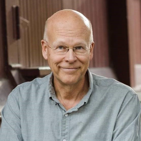
by Jim Berg, DNR

After almost 27 years with DNR, 9 years in environmental consulting, and 5 years in oil exploration I will be voluntarily unemployed in January 2022. I leave behind a large pile of reports with hundreds of maps and cross sections, and many thousands of words. There are hundreds of holes in the ground out there — 10 to 10,000 feet deep, with my name attached to them. From all of this I hope there is some enduring and important knowledge provided of water, rocks and sediment under our feet. Like the rest of us, my path to geology as a boy or college freshman didn’t start with a desire to bail contaminated water from a monitoring well or write a five-volume remedial investigation report. It began on family trips to the Rockies and college backpacking trips to the Grand Canyon where above-ground discoveries were made. But the jobs were in underground discoveries.
I tend to think about these career phases as 3 separate careers. But of course, they are really the same basic job, using similar tools but at very different scales of depth, distance, and time. The absolute privilege of a geoscience career is they pay you to think about fascinating physical and chemical processes that act over very long time periods, in very large spaces. These jobs had different large goals, such as profit, environmental protection, or profit and environmental protection. However, reaching those goals always required underground discovery and mapping. What’s underground, how did it get there, how does it work, and what does it look like on a map?
So now what do I do? I will have more time to travel to those very large spaces, consider those very long time periods, and make more discoveries. Only now those discoveries will be back at the surface again.
Background on Jim’s career
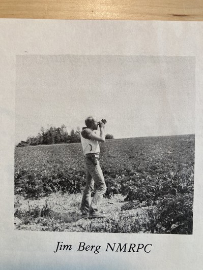
Jim majored in geology at Carleton College and earned an MS in Geology at the University of Kansas. One of his very first jobs was at the Northern Maine Regional Planning Commission (NMRPC) doing soil erosion surveys of potato fields in 1977 for $3.50/hour. See photo below.

Working on the County Groundwater Atlas Program, Jim has been the author for 15 atlases over the past 20 years. He has led efforts to invent new GIS mapping methods that have been used since 2005 by the Minnesota Geological Survey (MGS) and DNR. Completed counties included Anoka, Blue Earth, Brown, Carlton, Cass, Clay, Goodhue, Hennepin, Isanti, Kanabec, Pine, Pope, Redwood, Sherburne, and Washington.
Most atlases are produced in two parts: Part A, Geology — produced by the Minnesota Geological Survey, and Part B, Hydrogeology – produced by the DNR. The Part B atlas includes maps and reports identifying the direction of groundwater flow, aquifer properties, groundwater chemistry, and pollution sensitivity of aquifers. By the end of 2021, over 30 Part B atlases will have been produced.
The geologic maps, groundwater flow analysis, and interpretations of subsurface movement of drinking water contaminants were created from custom databases of well record and water quality data compiled using ArcView, Spatial Analyst, and ArcGIS. These evaluations were designed to help local government units protect groundwater resources and to help plan for water resource management. Key features of the investigations have been presented by DNR staff to county-level staff, commissioners, and other interested parties in oral presentations and training sessions.
From 2008 to 2013, Jim was the lead worker-contract supervisor for three separately funded projects that resulted in the installation of 35 new Mt. Simon observation wells or observation well nests in south-central Minnesota and the Twin Cities metropolitan area. The wells were drilled to depths ranging from approximately 100 to 1,000 feet. The total budget for the three projects was $3.38M