Contact: Paul Putzier, Supervisor, Groundwater Atlas Program, 651-259-5692; mndnr.gov/groundwatermapping
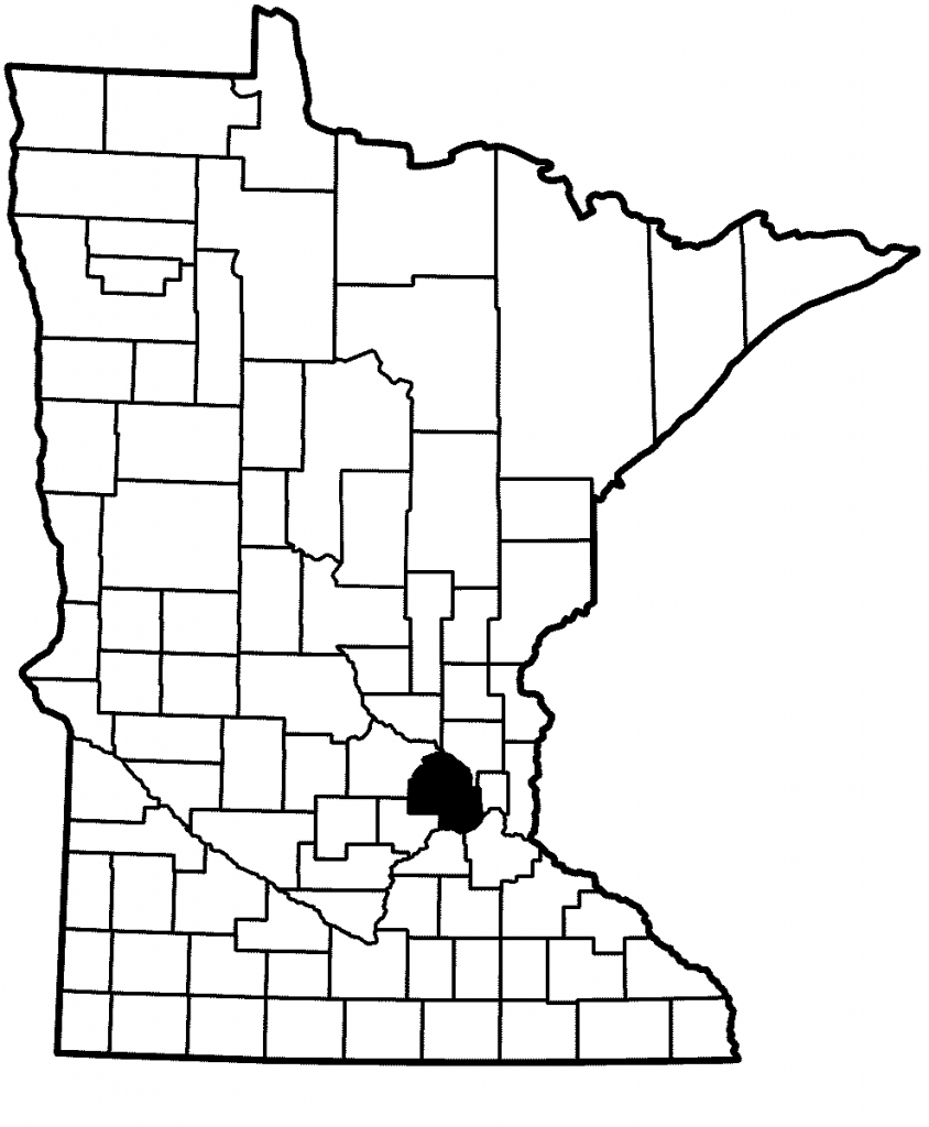
The Minnesota Department of Natural Resources has published the Groundwater Atlas of Hennepin County. This Part B atlas covers groundwater conditions and sensitivity to pollution. It expands on Part A, the geology atlas previously published by the Minnesota Geological Survey. This is C-45 in the county atlas series.

The atlas can be used to help identify viable water sources, evaluate supply, identify recharge sources and flow, manage sustainability, guide decisions for well and septic system construction, assist in wellhead protection for public water supply, and assess pollution sensitivity.
The atlas is available online and in printed form:
- Online: Groundwater Atlas of Hennepin County. The web page includes GIS files and PDFs of the report and maps. The GIS folder includes GIS files and associated metadata, as well as an ArcMap file that displays the data as shown on the published maps and includes hyperlinks to image files of the published cross sections. For Part A and other completed counties consult the County Atlas Status List.
- Paper copies: The atlases can be purchased from Minnesota Geological Survey Map Sales, 612-626-2969.
This atlas is a revision of an earlier version completed in 1989 by the Minnesota Geological Survey (MGS). The complete updated atlas is available in two parts: the geology (Part A) completed by the MGS in 2018 and the groundwater (Part B) completed by the DNR in 2021. The DNR atlas not only builds on the foundational information of the MGS, but also includes a large amount of legacy chemistry data from the U.S. Geological Survey, Minnesota Department of Health, University of Minnesota, and recently collected DNR chemistry data.
Typical of all Part B groundwater atlases, the report is a comprehensive look at a wide range of groundwater characteristics and conditions in the county. Topics include water-table elevation and depth; residence-time indictors (tritium and carbon-14); groundwater and surface-water interaction, and inorganic chemistry distribution (chloride, nitrate). Additionally, the report includes maps of pollution sensitivity, potentiometric surface and groundwater flow, and hydrogeologic cross sections. Hydrographs illustrate the interaction between groundwater, surface water, precipitation, and high-volume pumping using extensive online database information from the DNR.
Of all these topics perhaps one of the most interesting is the steady depletion and possible stabilization of the Prairie du Chien and Jordan aquifers in eastern Hennepin County. See related article: The suburban aquifers, Hennepin County.
Partial funding for this project was provided by the Minnesota Environment and Natural Resources Trust Fund and the Clean Water Fund. For more information on the program see the County Groundwater Atlas website at mndnr.gov/groundwatermapping.
MGWA is committed to developing a just, equitable, and inclusive groundwater community. Click on the button below to read MGWA’s full diversity statement.